Author: Ville Katajamäki
-
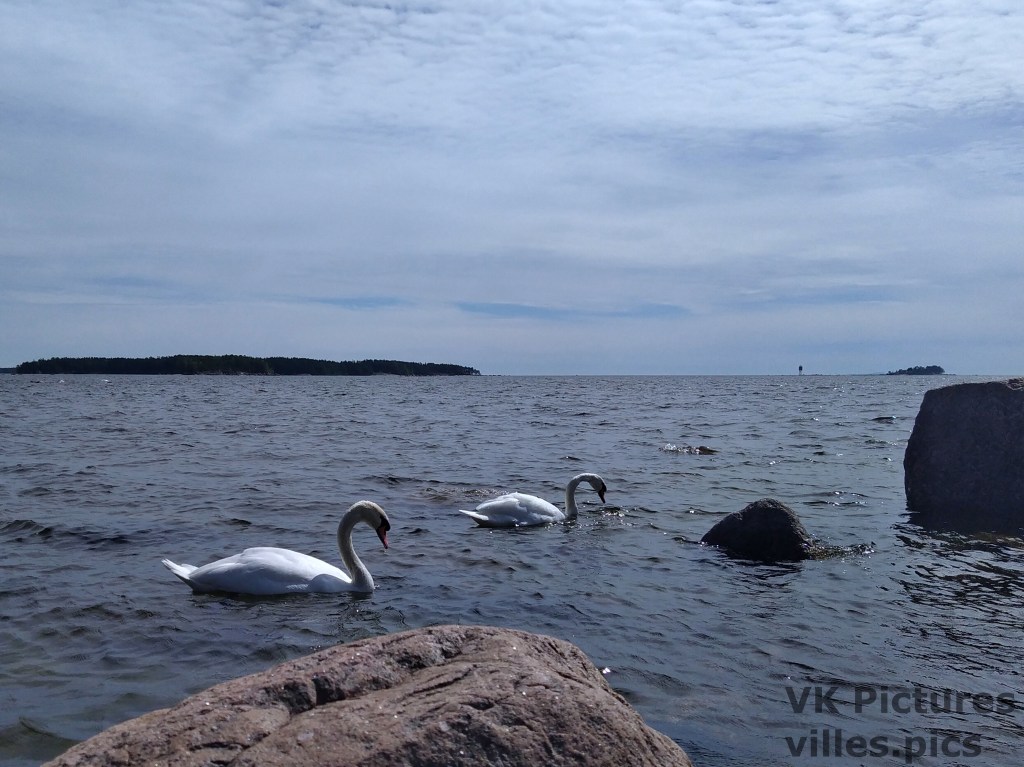
The Coast of Santalahti
Right to the west of the large indrustial port of Mussalo, on the Mussalo island in the Baltic Sea, there is a small bay called Santalahti. The northern part of Santalahti has a resort, a camping area and a golf course. To the south-west of these is a natural bay that only has a few…
-
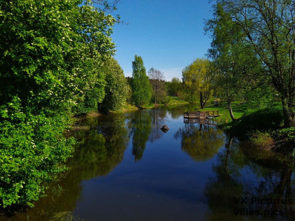
A Summer Walk, Part II, Along the Kymi River
The eastern branch of the Kymi River splits into two to the north of Kotka. The western branch of this split contains a large island with dams on both sides. Along the way is the Siika Rapids, a popular fishing place. Here are pictures from the way to the dam from southern end of the…
-
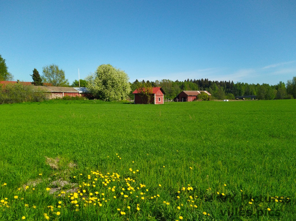
A Summer Walk, Part I, Edge of a City
The city of Kotka is built on the delta of the Kymi river. As you head north, the city landscape becomes more rural. I walked to a large island on the Kymi river while passing through the some rural areas on the way. Because I took so many photos, this post will be divided into…
-
A Small Island
The island of Luotsi-Kuusinen is a small island just to the south-east of Kotka Island. It is in the Baltics Sea at the Gulf of Finland. While Luotsi-Kuusinen used to be a proper island, an artificial road has been built to it. The coast of Luotsi-Kuusinen is rocky with alot of pebbles and larger rocks.…
-
Along the Kymi Line
The Kymi River in Finland has been important for indrusty and military purposes throughout history. At the most eastern branch of the end of the Kymi River in Kotka, there used to be logging industries and a WW2-era military defense line. These pictures are from the Jumal Peninsula, which is at the mouth of the…
-
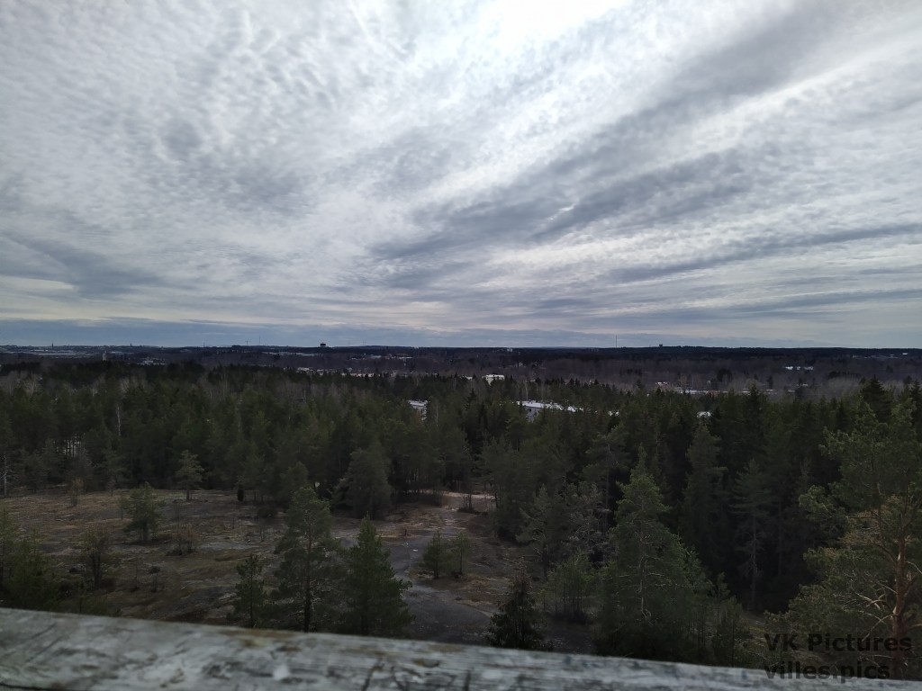
Mountain on an Island
The Äijävuori (Äijä Mountain) is a location at Kolkka Island, Kotka. In Finland, there does not really exist any proper mountains, but this is the highest point of Kolkka. Äijävuori is only about 56 m high and very spread out, so the height is not well visible from any point, expect from the observation tower…
-
The Soviet R-5 Missile and its Variants
The R-5 missile was the first Soviet intermediate range ballistic missile (IRBM) and its variant, the R-5M, was the first Soviet missile with a nuclear warhead in service. The R-5 was designed after the planned R-3 missile was cancelled. Other variants of the R-5 were used to test equipment for the R-7 missile and for…
-
Lappeenranta Fortress
The Lappeenranta Fortress is a small fortress that was built in the 1700’s. It has been used by the Swedish and Russian armies for military purposes, and by the White faction of the Finnish civil war in 1918 as a prison. I was visiting Lappeenranta for business reasons and I did not have too much…
-
WW2 Hill Bunker
Near the Kymi River, there is a small WW2 era bunker in a hill. The bunker was probably part of a defense line along the Kymi. On the hill there is a radio tower, that is the tallest building near this place. The door to the bunker is closed, but here are pictures from outside…
-
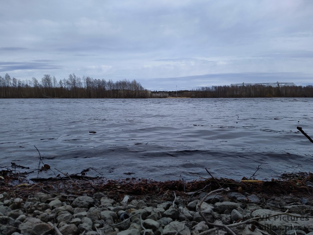
Melting River
As the weather becomes warmer and the snow starts to melt, rivers start to flow at a higher rate and small streams that were hidden beneath the snow become visible. I took some pictures of both of these typer of rivers today. The first pictures are from the large flow of the Kymi river. Most…
