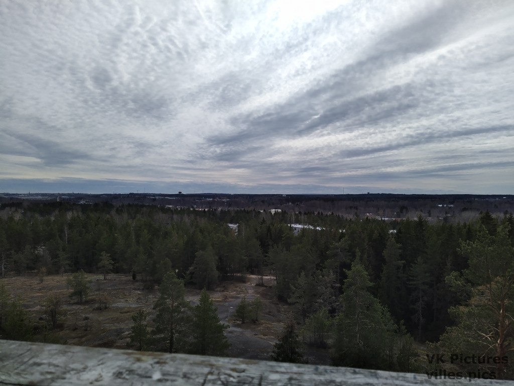
The Äijävuori (Äijä Mountain) is a location at Kolkka Island, Kotka. In Finland, there does not really exist any proper mountains, but this is the highest point of Kolkka. Äijävuori is only about 56 m high and very spread out, so the height is not well visible from any point, expect from the observation tower on top of the “mountain”.
At the base of Äijävuori, there is a small lake, called Tampsan monttu, that is used as a swimming place when the weather is better.
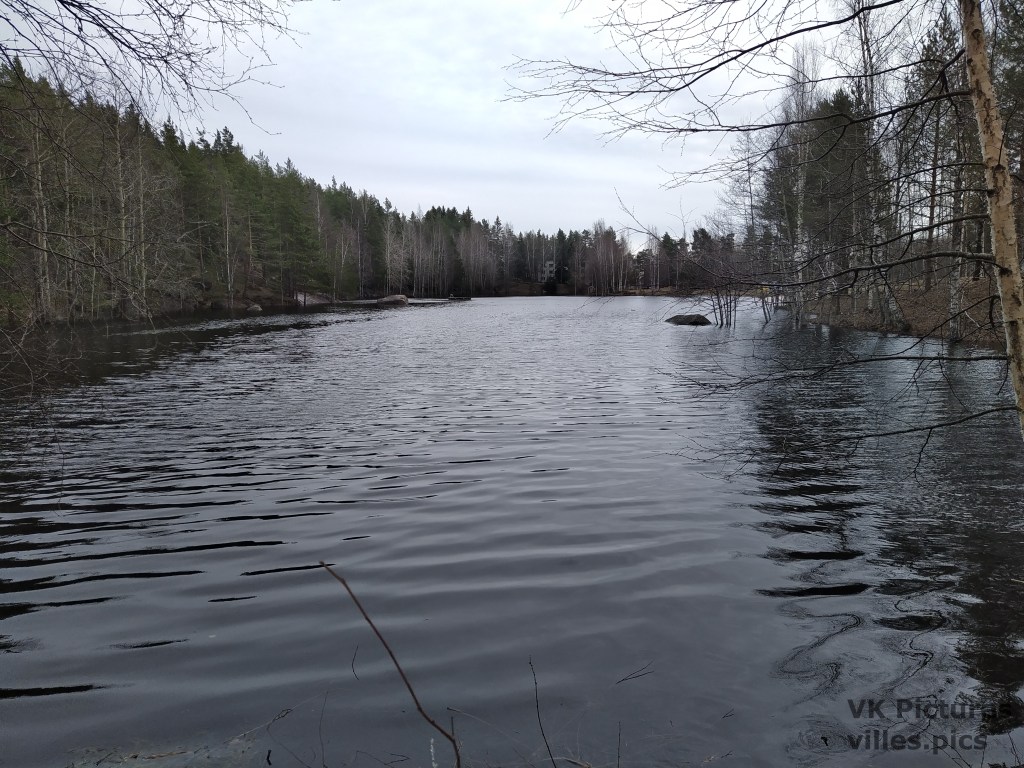
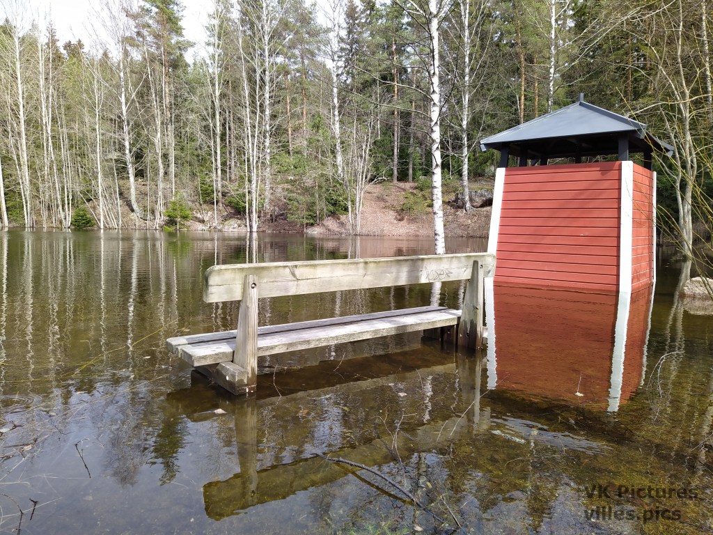
At this time of the year, when all the snow is melting, alot of water flows to the lake and the slightly floods.
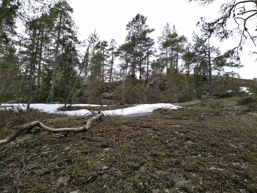
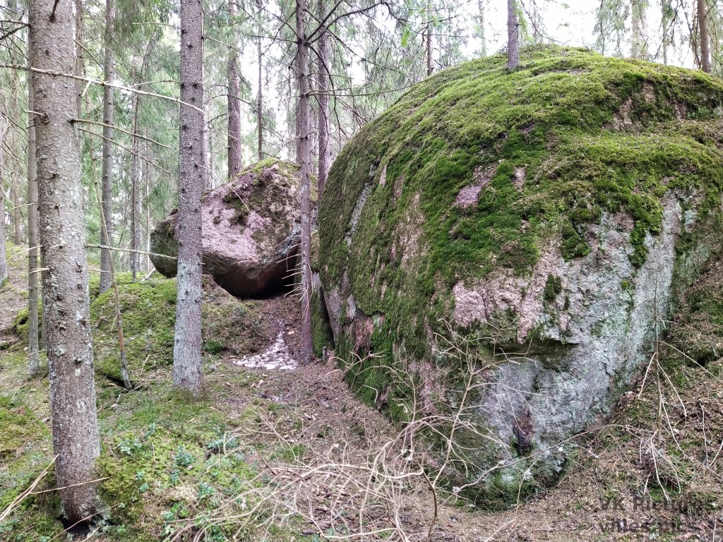
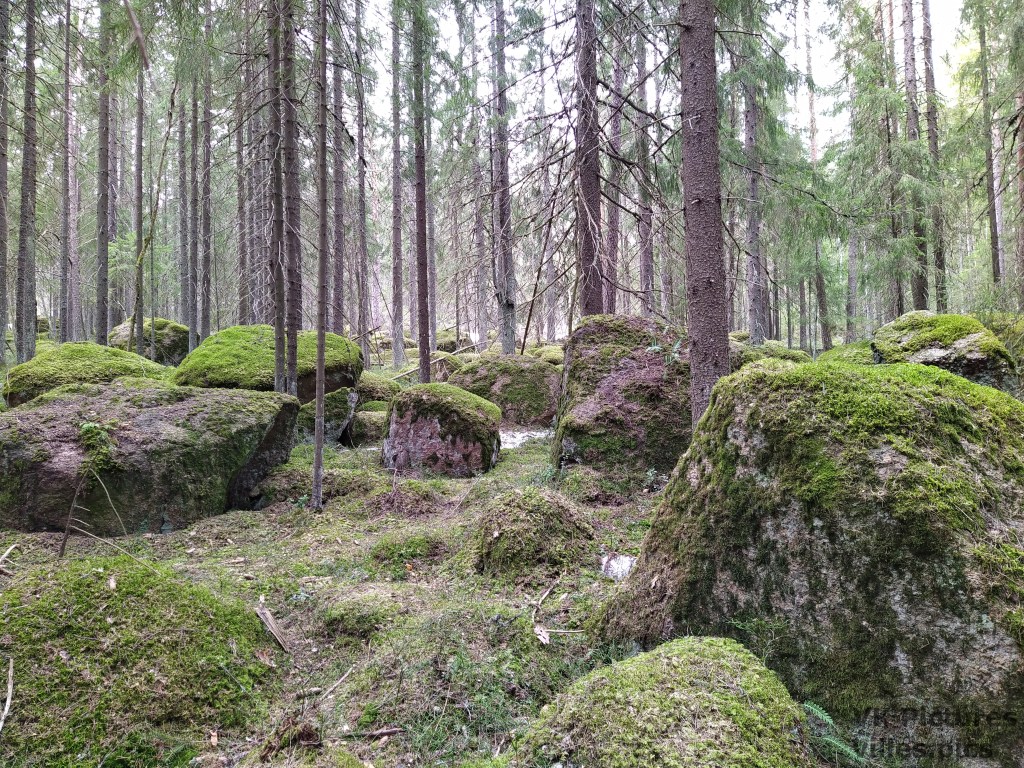
As I wrote, the mountain is very spread out and there are not that many places where you can see the height. There are some places with somewhat high cliffs and large boulders. Also, despite it being May, there is still some snow remaining at the ground.
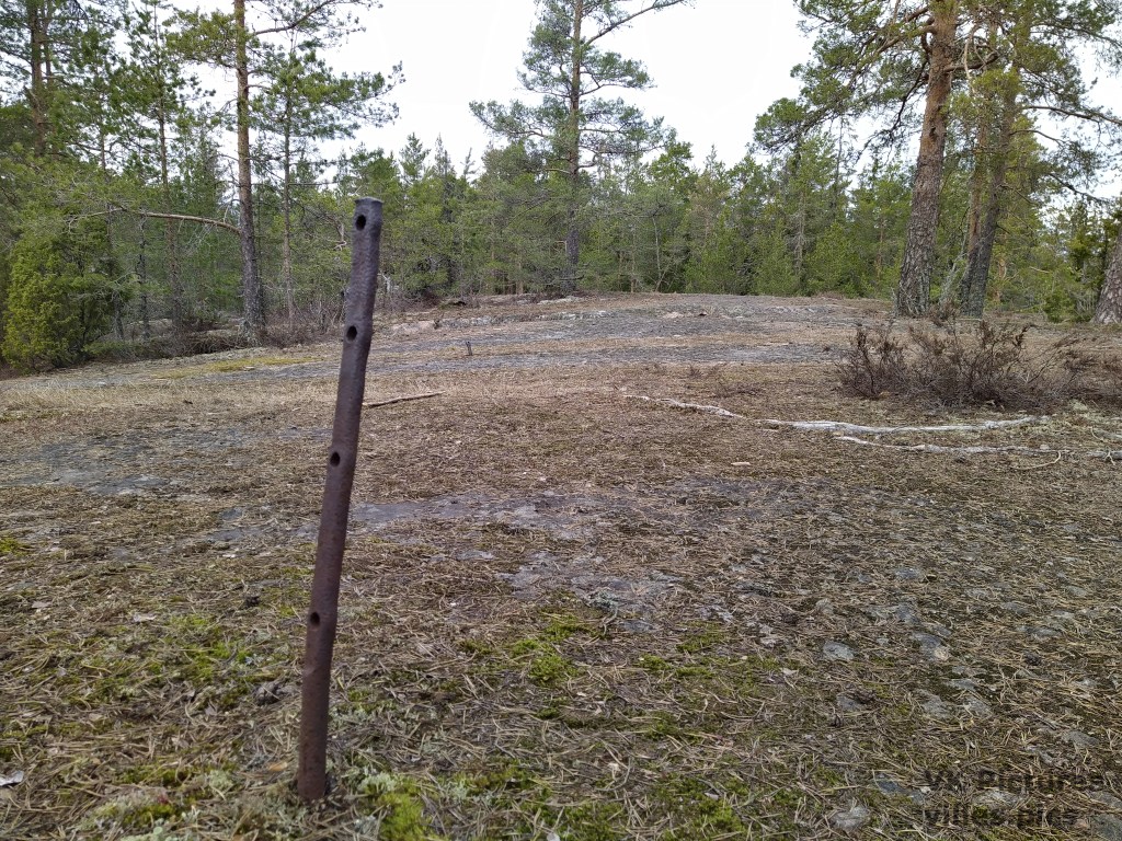
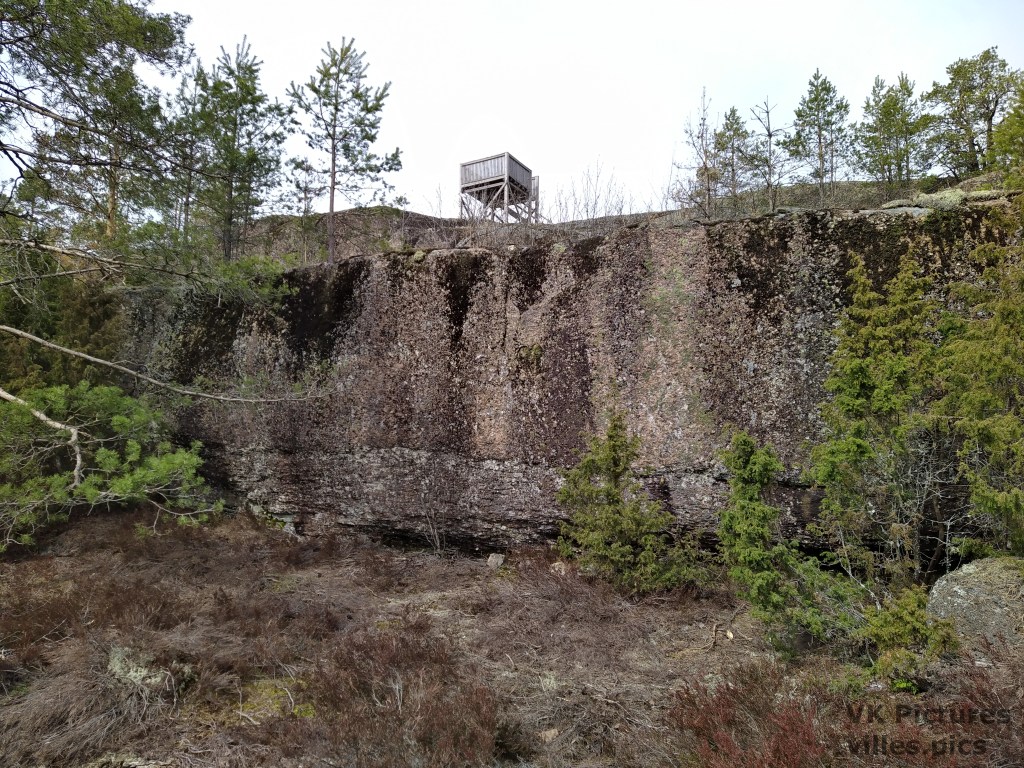
At the top of the hill on the above picture, there used to be an anti-aircraft watch tower during WW2. Today only some pieces of the tower base remain.
Äijävuori is near the Kymi river, where there used to be a defensive line during WW2. Some other remains of military installations exist at the mountain, such as this bunker in a hill.
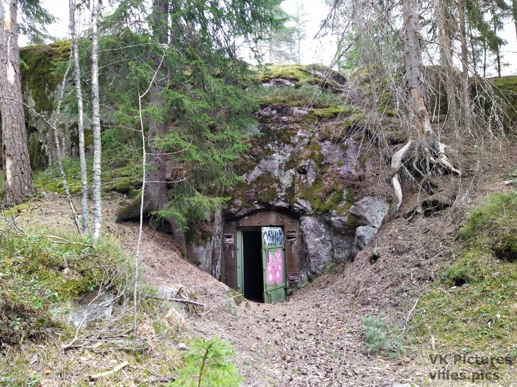
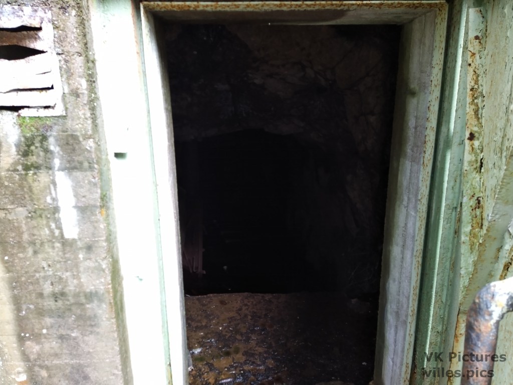
This bunker was used by the 52nd Kymi air monitoring center in 1941, and is about 50 m long. It is difficult to see inside, since I did not have anything to light it for the picture, but there is a short staircase and large amount of water in the bunker. Because I did not prepare to get wet during this trip, I decide to not explore the inside of the bunker.
The mountain has a large amount of boulders, some that are probably glaciar erratics. Those are large boulders that were carried by glaciar ice during the last ice age.
The tallest spot of the mountain has a watchtower at it. You can see the hight of the mountain from here. I also made a video showing a 360 degree view from the tower.

Leave a comment